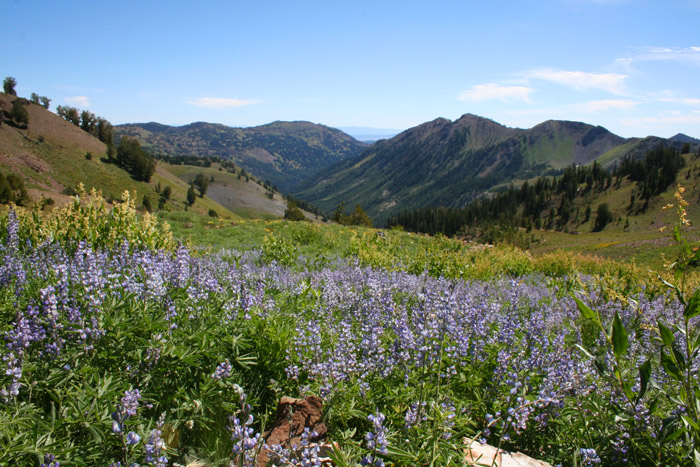
Wallowa Mountain Backpacking Loops
The Wallowa Mountains in Northeast Oregon are known for their beautiful granite peaks, clear lakes, and deep valleys. What makes the region even better, is a wide variety of loop trips that can easily be created to sample the wilderness. The hikes listed below require three to six days to complete.
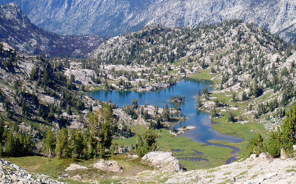
Swamp Lake – Wallowas (Glacier Mountain Loop)
Glacier Mountain Loop
Also leaving from the Two Pan Trailhead, the Glacier Mountain Loop offers high alpine scenery, valley-bottom walking, and incredible views of the western Wallowas. From the trailhead, travel south along the Lostine River Trail, meeting a fork that leads along Copper Creek (The Lostine River needs to be forded just beyond the intersection – generally an easy affair). The trail then climbs through a series of beautiful valleys and meadows along Copper and Elkhorn Creeks before topping out above Swamp Lake. Turning south, the trail then rapidly descends into the Minam River Valley. To complete the loop, head east up the valley, beneath hanging valleys and high peaks until climing to meet Minam Lake, before following the main fork of the Lostine River back to the trailhead.
Aneroid/Glacier Lake Loop
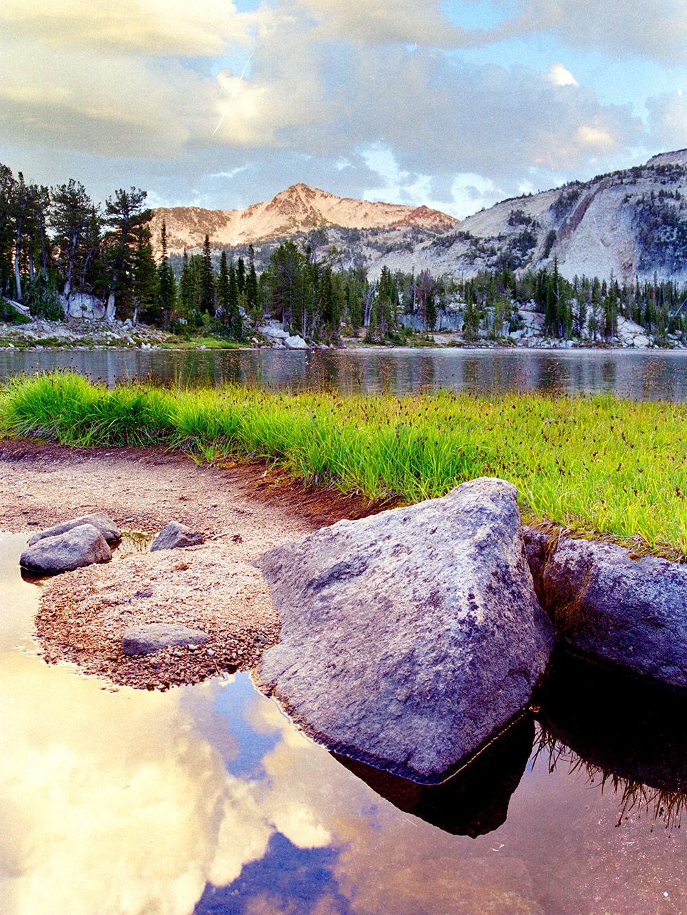
Another classic trip in the Wallowas, the Aneroid/Glacier Lake Loop travels through the most rugged areas of the Wallowas. It begins at the southern end of Wallowa Lake, before climbing to Aneroid Lake. The trail continues past the lake, climbing to Polaris Pass, and its great views before dropping into the West Fork Wallowa River Drainage. It then climbs upriver, passing Frazier Lake on its way to Glacier Lake, in my opinion, the most scenic lake in all of the Wallowas (although, I still do have quite a few yet to see). The loop trip then climbs over Glacier Pass and into Lakes Basin before dropping back to the West Fork Wallowa and the trailhead.
There are many other loop trips that are still on my to do list in the Wallowas, and much more spectacular country to explore.
North Fork Imnaha – Wallowas (Imnaha/Eagle Loop)
Imnaha/Eagle Loop
This is a fairly long, but rather epic trek that samples the Southeastern Wallowas. It begins at the East Eagle Trailhead, and climbs to Crater Lake, before turning more northerly and descending through the Cliff Creek drainage. This is a particularly beautiful valley in the fall, where the Larch trees turn a golden yellow beneath the rising peaks. The trail then meets the South Fork Imnaha River, where this loop trip turns east, following this river through lonelier country and tamer mountains.
At the confluence of the South and North Forks of the Imnaha, turn north, and walk the valley as the ridgest on either side of the valley slowly gain in height. Eventually the trail climbs the northern wall of the valley topping out at Polaris Pass, where one of the best views of the Wallowa Mountains is gained, sweeping from Eagle Cap to the Matterhorn and Sacajawea Peak. The trail descends very rapidly to the West Fork Wallowa River. Turn north, and follow this route to the intersection with the Lakes Basin trail.
The Lakes Basin is a very popular area of the Wallowas and the scenery is spectacular. Many great campsites exist in the area, and even though it is popular, generally secluded campsites and privacy can be found.
To continue the loop, follow the trail through the Lakes Basin, past Mirror Lake, and south through Horton Pass (Those looking for an additional side trip can summit the Eagle Cap here). Travel along the East Fork Eagle Creek through it’s deep canyon with eight and nine-thousand foot peaks rising on either side, and back to the trailhead.
Mirror Lake – Wallowas (Lostine Loop)
Lostine Loop
Beginning from the Two Pan trailhead which lies at the end of a long road that penetrates deep into the Eagle Cap Wilderness, the Lostine Loop explores two of the Mountain Range’s beautiful valleys, the main fork of the Lostine River and its East Fork. Both valleys offer a beautiful creek that meander through their flat-bottomed valley bottoms that feel very much like parks. The western fork leads to Minam Lake. While manmade, it is very scenic with Brown Mountain rising from its western shores and numerous campsites are available. For those looking for a short sidetrip, Blue Lake is an easy and enjoyable detour. To connect the two valleys and to complete the loop, a trail leads from the southern shore of Minam Lake into the East Fork Lostine Valley, and the eastern edge of the fantastic Lakes Basin. Follow the East Fork Lostine River back to the trailhead to finish the Loop.