Exploring Cuyamaca State Park
I really didn’t have a plan today, other than explore some of the maze of trails at Cuyamaca State Park. I ended up creating a nice 12.5 mile loop, that took me up near to the top Cuyamaca Peak. I’m probably one of the few people to to get that close to making it to the top, but deciding not to ‘summit’. I generally find it annoying when coming down a trail like this, people ask ‘Are we close?’. It’s even more annoying when you don’t have an answer, since you didn’t go to the top. It wasn’t because I was overly tired or low on water — I just wasn’t that interested. I was interested in making a cool loop trip! I was also interested in checking out some of the many fire roads coursing through the park. I think biking (while towing little Mason), will be a big part of my upcoming adventures, so finding good old dirt roads to use is high on my todo list.
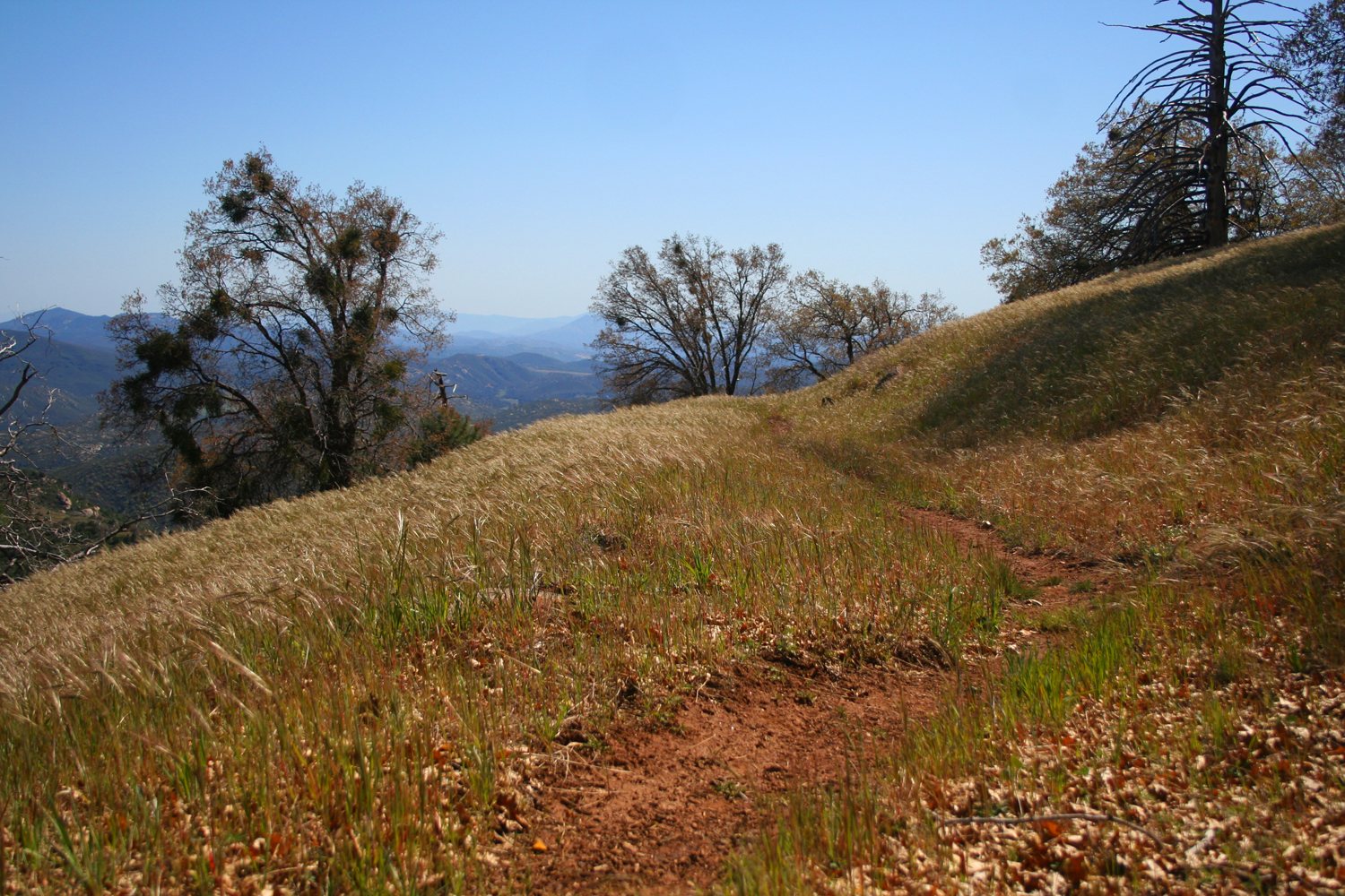
I parked at the Sweetwater Trailhead, and walked out the Japacha Fire Road. There is a nice stretch where it follows Japacha Creek for a short distance. I then continued onto the West Mesa Fire Road, up the Fern Flat Fire Road, until meeting up with the Lookout Fire Road, which was actually paved (boo!). At about the 5800′ level, the road finally entered some nice trees, and there was even some snow patches to be found. I took the Conejos Trail (thus skipping the summit of Cuyamaca Peak), which was pretty nice at the beginning, but lots of downed trees and it’s pretty brushy in spots. Luckily, it was only a half mile.
I then connected up with the Burnt Pine Trail, which switchbacked down the mountain, much of which was through a beautiful, grassy meadow with Oaks and Pines, and then Took the West Mesa Monument Trail back down to the valley bottom. The walk back along the West Side Trail to the Trailhead was actually a highlight of the trip — a nice walk along the creek, with lush grasses under oak trees and granite outcroppings.
.jpg)
The fire roads I think will work great for some bike rides. The Japacha Fire Road can be steep and rocky in a few spots, so considering that we will be towing a little human, we’ll likely need to walk some of that. Overall though, it looked like many of the fire roads will work great. The stretch of the Fern Flat Fire Road that I walked on was nicely graded, and I could look down on a few other roads that looked promising — particularly South Boundary trail, which looks like it may make for a small, but nice loop aroudn the Green Valley Campground.